Karachi District West Map 2017
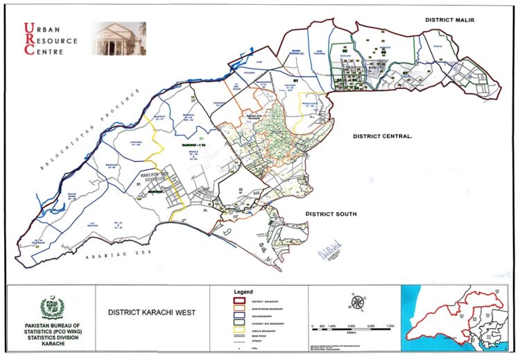
Karachi District West Map 2017 – Pakistan Bureau of Statistics (PSO Wing) provides an official representation of the administrative boundaries of Karachi West District as recorded in the 2017 Population and Housing Census. Developed by the Statistics Division’s PSO Wing, this map outlines district limits, highlights area names, and serves as a reliable reference for demographic analysis, planning, and academic research. It reflects the official government layout used for census and statistical reporting. The map is displayed directly on the page for easy reference. For HD quality versions, please contact us via WhatsApp—no need to search elsewhere.