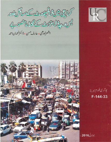
The Proposed Bus Rapid Transit Project
On 11 November 2015, the Urban Resource Center organized a forum titled “Transport Issues in Karachi – The Proposed Bus Rapid Transit Project,” featuring Ashar Lodhi, Arif Hasan, and Dr.
How Can Waste Be Turned into a Source of Income?
On 13 May 2018, the Urban Resource Center hosted a forum titled “How Can Waste Be Turned into a Source of Income?” with Hamid Ullah as the speaker. The forum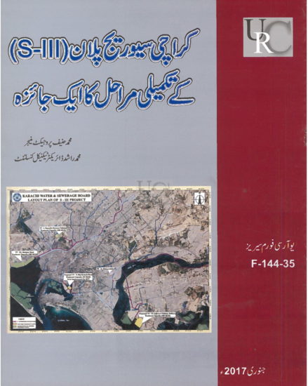
Karachi Sewerage Plan (S-III) – An Overview
On 16 November 2016, the Urban Resource Center organized a forum titled “Karachi Sewerage Plan (S-III) – An Overview of the Completion Stages,” featuring Muhammad Hanif, Project Manager, and Muhammad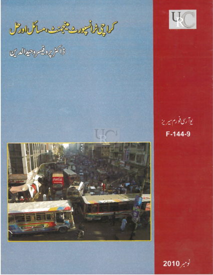
Karachi’s Transport Management Issues and Solutions
On 07 July 2010, the Urban Resource Center hosted a forum titled “Karachi’s Transport Management Issues and Solutions,” with Dr. Professor Waheeduddin as the speaker. The forum discussed the major
Perspective of the KCR Project Affected Peoples
On 23 November 2017, the Urban Resource Center hosted a forum titled “The Perspective and Position of the Affected People of the Karachi Circular Railway Project,” featuring Advocate Mohammad Ali
The Educational Situation in Pakistan
On 18 October 2012, the Urban Resource Center organized a forum titled “The Educational Situation in Pakistan – Issues and Challenges,” featuring Dr. Syed Jafar Ahmed as the speaker. The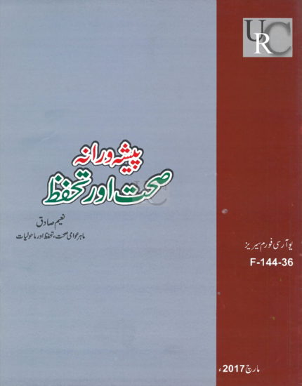
Occupational Health and Safety
On 21 December 2016, the Urban Resource Center hosted a forum titled “Occupational Health and Safety,” with Naeem Sadiq as the speaker. The forum focused on the importance of ensuring
The Rickshaw Ban and the Rickshaw Association
On 09 August 2015, the Urban Resource Center organized a forum titled “The Rickshaw Ban – The Position of the Rickshaw Association,” featuring speakers Syed Safdar Shah and A.A. Wahdi.